Tweet Manookatoo Adventures

Thursday, 21 May 2020

Looking for warmth

Beautiful Great Keppel Island
We have now heard, from several sources, that May is the windiest month in these parts, and we are inclined to believe it! We enjoyed two days at Great Keppel Island, walking along Svendsens and Monkey beaches, climbing one of the many hills across to Long Beach, lazing on the boat and enjoying the clear waters. Many smaller boats came over from the mainland too, enjoying the lifting of level one restrictions allowing entrance to National Parks. The nights were not so enjoyable; rolling waves at Svendsens Bay and unexpected winds at Fisherman’s Bay kept us from having the peaceful sleeps we usually enjoy! By Monday, first light, knowing the weather was deteriorating as the day progressed, we were ready to head east to the mainland. The trip across was quite “lumpy” and it was a relief to reach the calm waters of Rosslyn Bay and tie up at the Marina. We booked in for two nights, but we stayed for ten as the wind continued unabated!
Drinks with friends Yvonne and Andrew
Climbing the Bluff
Singing Ship, Emu Park
We made the most of our time ashore to complete a few odd jobs, utilising the regular local bus service to visit Yeppoon and Emu Park, and hiring a car for a day to take us to Rockhampton for a big restocking shop. We also rode our bikes along the foreshore, climbed the local hill and generally enjoyed ourselves. We caught up with friends and enjoyed dinners on each other’s boats, and had coffee and a couple of lunches in local cafes as dining restrictions eased. Finally, on Thursday of the following week, the winds eased and we headed out again, back to Great Keppel Island.
Leekes Beach
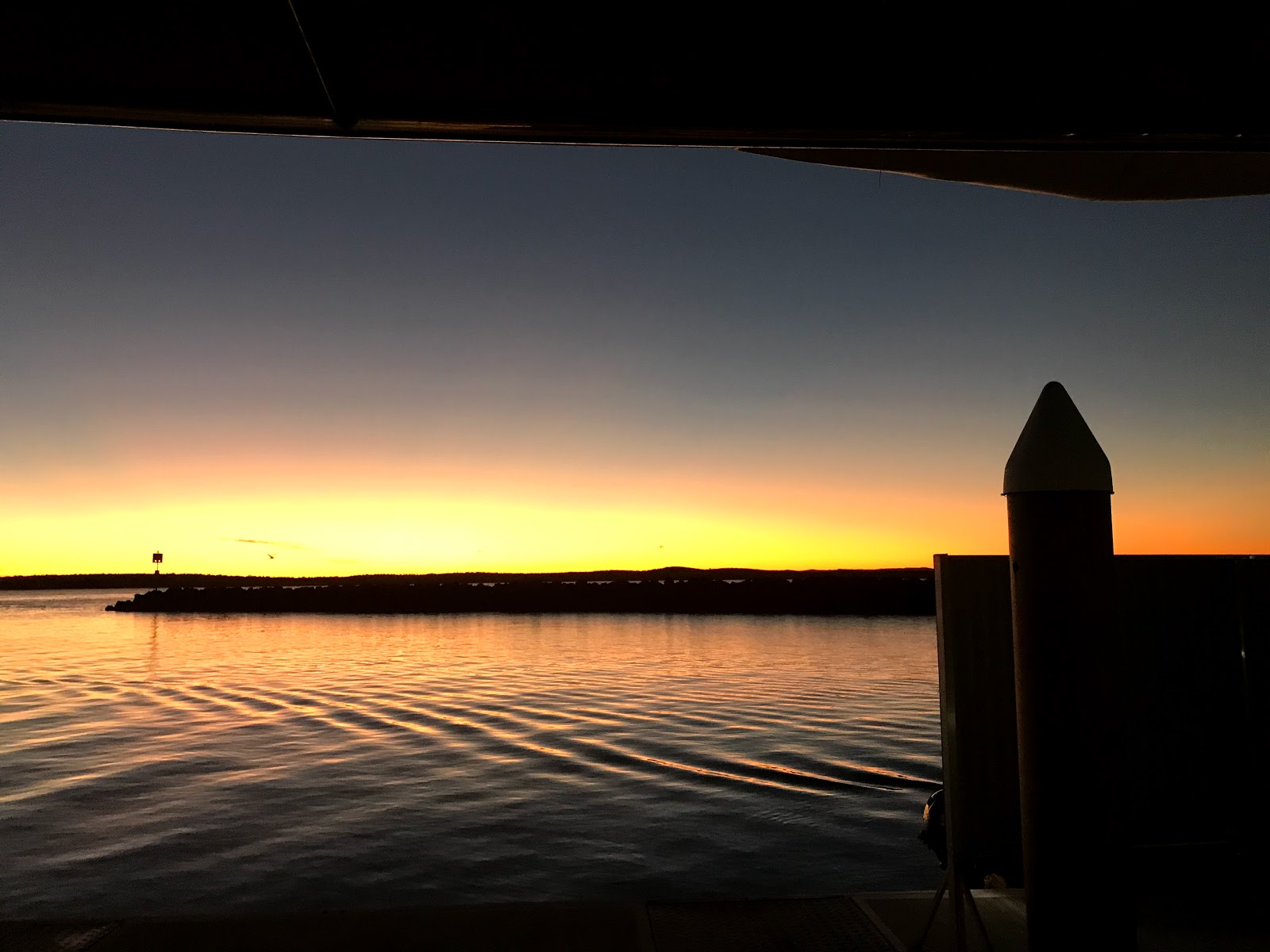
Keppel sunset
We dropped anchor mid morning near Svendsens Beach. There were far fewer boats here this time, a consequence of the windy conditions of the past ten days. As the morning went on we watched others raise their anchors and move - doing “The Keppel shuffle” - as the wind was expected to turn south westerly. We followed suit, cruising less than one nautical mile to Leekes Beach, which offered more protection from the west. Nonetheless it was a rolly afternoon as the swell came in from the northeast and wrapped its way around the headland. We enjoyed sundowners with our neighbours on Toucan 2, returning to our own boat as darkness fell.

Playing "tourist"
By Friday morning the swell had softened and we went ashore in the small inflatable (more suited to pulling up the beach in tidal areas), walking along the shore and across the island to the normally bustling tourist hub. The ferry recommenced operations today but nothing is open; staff were busy setting up at Hideaway Resort for resumed "socially distant" day trading tomorrow. We returned via the lookout, enjoying views across Svendsens and Leekes beach and beyond. Saturday was a wet and miserable day so we hunkered down on Manookatoo, only venturing out in a break between showers for coffee with our friends on Tranquility Base. 


As a "record breaking" cold snap has hit Queensland, we started dreaming of warmer conditions in the north. On Sunday morning, with light winds forecast for the next few days, we took the opportunity to weigh anchor, cruising away from Leekes Beach and past North Kepppel Island as the sun rose. There was some rolly swell for the first couple of hours, but westerly breezes were taking the top off the waves and making the sea conditions more reasonable. Last time we cruised this way we took it slowly, stopping a night each at Corio Bay, Port Clinton and Island Head Creek, but this time, with the cold, we are more impatient! We dropped anchor in Pearl Bay just after 1:30pm, enjoying a late lunch before lowering the dingy and heading to shore. Alan Lucas calls this “a pretty anchorage” and he’s right; with a long stretch of sandy beach, rocky outcrops, islands and mountain ranges it is a lovely place. Reception is nonexistent though, so checking weather and other communications is impossible, encouraging us to keep moving!


Longer cruising days demand early starts, but the upside is in the lovely sunrises. We raised the anchor just after 6am, cruising out past the rocky islands around Cape Townshend and continuing north. We managed to contact the coastguard and confirm that the seas remain calm, but all other communication eluded us. This area is part of the Shoalhaven military zone, a very isolated stretch of coast often closed during defence exercises, so I guess they’re happy to keep us all silent! Favourable currents had us cruising along at over 8 knots, a fine speed for Manookatoo, and we approached the Duke Islands, rounding Marble Island and dropping anchor near Hunter Island just after noon. After lunch we ventured ashore. These islands were once cattle runs, evidenced by ruins and an old yard, now the domain of mountain goats. We followed the goats’ example and scrambled up the rocky, grass covered hills to gaze at the magnificent view of neighbouring islands and azure seas, thankful to return to shore without a tumble! 
Duke Island hill!!

Hunter Island hut
Rolly seas brought wave slap and excessive rocking in our bed, not ideal sleeping conditions but just part of the experience of life on a boat. We were up and off a little later the next morning as we had not as far to travel. Communication remains spasmodic in these parts but we managed to hear the coast guard’s weather report and were pleased to hear that conditions were improving, with the wind and waves dropping over the day. By lunchtime we were rounding Digby Island and dropping anchor in calm and clear waters. After lunch the Captain rowed us ashore, where flotsam and jetsam from at least one boating disaster was strewn along the beach. We looked for a way up the hill to check out the view, but the scrub was thick and impenetrable so we returned to Manookatoo for a relaxing afternoon. That night we enjoyed much milder conditions and look forward to that continuing in the coming days.

The Coral Sea is dotted with groups of fabulous islands; not all as well known as the Whitsundays but equally as beautiful, with dramatic rocky faces and lush green vegetation surrounded by clear, aquamarine water. Boaties like us appreciate these safe anchorages and realise how privileged we are to experience this wonderful landscape. After a lovely, relaxing sleep we raised the anchor again at first light and continued north, listening closely to the coastguard’s 6:45 weather report to ensure that nothing unexpected was happening, relieved to hear that light winds and calm seas are continuing for the next couple of days. A couple of hours into our cruise, however, the wind swung around and the seas got a bit “lumpy”, which made eating breakfast interesting! Nevertheless it was a pleasant morning for cruising, and we rounded Scawfell Island and picked up a mooring just before 1pm. There is a  National Park campground ashore here, but the heavily treed hills looked too challenging for us today, so we stayed on the boat for a relaxing afternoon.
The winds died down overnight and we were awoken just after 5am by our mooring “knocking” on the bow! At 6:00, the captain threw off the rope and we continued northwest, cruising past many small islands and rocky outliers as we went. We have seen a few fishermen in runabouts and smaller offshore craft, plus a couple of yachts at overnight anchorages, but water traffic has been particularly light - not surprising, considering the Covid 19 travel restrictions. Today we reached Shaw Island, part of the Lindeman group in the southern Whitsundays, where we intend spending some time soaking up the warmth and enjoying the many islands and inlets the area is famous for. 
Beautiful Shaw Island, southern Whitsundays

Captain's log
Distance travelled: 223.1 nautical miles
Travel time: 30 hours 45 minutes
Fuel consumption: 219.4 litres


Sunday, 10 May 2020

Making new plans


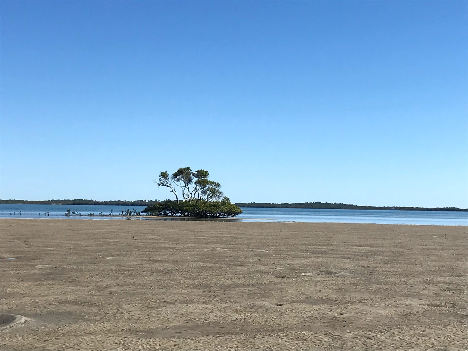
Round Island - low tide
Freshly caught Coral Trout
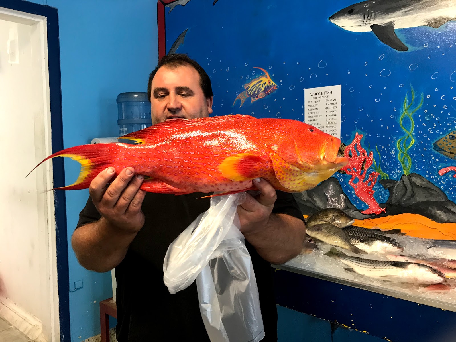
After ten days on anchor, the wind was forecast to change direction and life at Platypus Bay would no longer have been so pleasant. We cruised west, rounding Moon Point and heading over to Big Woody Island, hoping to walk up to the historical lighthouse, built in 1866 to show the way through the straits and guide cargo ships to the entrance to the Mary River, on their way to Maryborough. After dropping anchor and making our way through the rocky shallows in the dinghy, we approached the track only to discover it closed, part of the Covid-19 lockdown. Chastened, we returned to Manookatoo and continued west, dropping anchor just off Round Island, near the entrance to Urangan boat harbour. As the tide dropped, we went ashore and walked around the sandy shore, staying away from the trees in the centre where hundreds of birds were roosting very noisily. The next morning we raised the anchor and headed over to the Marina in order to restock with supplies and water. We spent a whole day visiting supermarkets and other supply stores and fitting everything into the boat, including fillets of Coral Trout caught that morning and filleted while we waited; you can't get much fresher than that! The next morning we went riding, taking the coastal path up to Torquay, returning to Manookatoo for a lazy afternoon. 
Farewell Hervey Bay
As restrictions began to be eased, in Queensland at least, people were allowed to travel a little further and recreational boating was allowed again. We decided it was time to make tracks! Leaving the marina at 5:30am, we cruised along the coastline of Hervey Bay through slightly rolling waves, entering the Burnett River just after midday and cruising up to the Port Bundaberg Marina. We filled the boat with fuel, taking advantage of the low price of diesel and the subsequent reduction in berthing fees - the best deal we have seen so far! After lunch we took a walk into the small village of Burnett Heads, following the riverfront path past fishermen and the old marina, which was heavily silted up following the 2013 floods. 
The view from the top of Bustard Head

Bustard Head lighthouse


We returned to the boat for an early night as we had a longer cruise planned for the following day, taking us further north, past 1770 and Bustard Head lighthouse and into Pancake Creek. This is a great safe anchorage, very popular with boaties heading north and south and, as the wind was predicted to be strong for the next few days, we were happy to pull up a mooring for a longer stay. Either side of the deep channel, the sand dries at low tide, and walking either on the large island in the middle or along the beach is very pleasant. The next day we ventured up the hill to the old Bustard Head lighthouse, the first one built by the state of Queensland in 1868. At the moment the lighthouse is closed for tours, but we enjoyed the walk through the Chinaman Creek wetlands and along the bushy path with views across Aeroplane Beach and the ocean as we went. More boats arrived as the day progressed; other boaties also looking for safe anchorage. We enjoyed the next few days at Pancake Creek, doing not much more than a bit of walking each day and a few odd jobs. 


Stay out of my way!
Crossing the cattle grid

By Friday the winds had eased a little and we were ready to continue our journey north, however there was still enough of a swell to put us off our original idea of following the east side of Curtis Island, so instead we opted to cruise in through the main shipping channel towards Gladstone. After tying up at the public jetty, getting rid of some garbage and buying a few supplies, we continued past all the industrial ports and into the quieter parts of the waterway, cruising slowly as we were against the tide, running fast at this time as the moon is full. As the middle part of this waterway, known as "The Narrows", dries at low tide, we anchored on the southern edge, at Black Swan Island, for the night. Surrounded by mangroves, there were quite a few midgies arond mosquitoes around at dusk, but we covered up well, sprayed the Aeroguard, and enjoyed sundowners on the flybridge. We had a later start the next morning as high tide wasn't until after 9am and we cruised up slowly between the mangroves, following the channel markers and leads, as well as the boat's own navigation, passing over the cattle run and road from the mainland to Curtis Island, and out into deeper water, breathing a sigh of relief when we were through! 
We continued north, into Keppel Bay, encountering a rolly swell across the ocean, arriving at Great Keppel Island just before 3pm. We have now reached the Tropic of Capricorn, well before winter, and look forward to enjoying some warm weather! 
Captain's Log:
Distance travelled:189 nautical miles
Travel time: 29 hours 55 minutes
Fuel consumption: 197.3 litres

Monday, 27 April 2020

Floating around Fraser (the forbidden) Island


In these times of lockdowns and restrictions, we consider ourselves very lucky to be where we are. But “luck” comes about by circumstance, and had it not been for the accident two years ago and our own subsequent recovery, with restrictions (regular therapy and rehabilitation sessions, no going in the sun until after summer 2020), we would have cruised the northern tropical seas two years ago and returned to Melbourne at the end of 2018; and we would currently be in ISO in our house! So yes, we are very "lucky"…..

Tin Can Bay fishing fleet

Sunset, Tin Can Bay
We continue to explore the Great Sandy Straits and have found quite a few gems along the way. While Hervey Bay is the largest settlement in the region, at the southern end of the straits is Tin Can Bay, with an attractive little village to explore, a bike path along both sides of the peninsula and enough shops to get anything you need. There is a lovely marina not far from the town, but the anchorage near Snapper Point, the southern tip of the peninsula, is also very calm and picturesque. We spent a night at each place, making the most of the bike paths to explore and shop, and enjoying the sunset surrounded by other pleasure craft at the marina, then anchoring amongst other boats out in the bay admiring the lights of town. There is a large fishing fleet at Tin Can Bay but it is quiet there at present – with so many restaurants closed and export markets not operating, much of the business has dried up although the local co-op has a nice variety of seafood for sale.

Sand atoll at low tide
Two other anchorages we tried were Pelican Bay, just inside the Wide Bay Bar, and Fig Tree Creek. We had hoped to go ashore at Pelican Bay and maybe walk to Inskip Point on the other side, but the bay was too shallow from too far out to get near enough to shore to find a path. Fig Tree Creek had the opposite problem as it was quite deep until close to shore, and as Fraser Island is “off-limits” to within 100m of the low tide mark, finding water shallow enough to anchor here was tricky. Two nights back at South White Cliffs reminded us of the beautiful places to anchor along the straits; we ventured further into the lagoon between Fraser Island and the sand cay and were rewarded with calm conditions even when the wind was from the north-west. At low tide we enjoyed a couple of walks on the cay; this time ours were the only footprints on the sand.


Dinner!
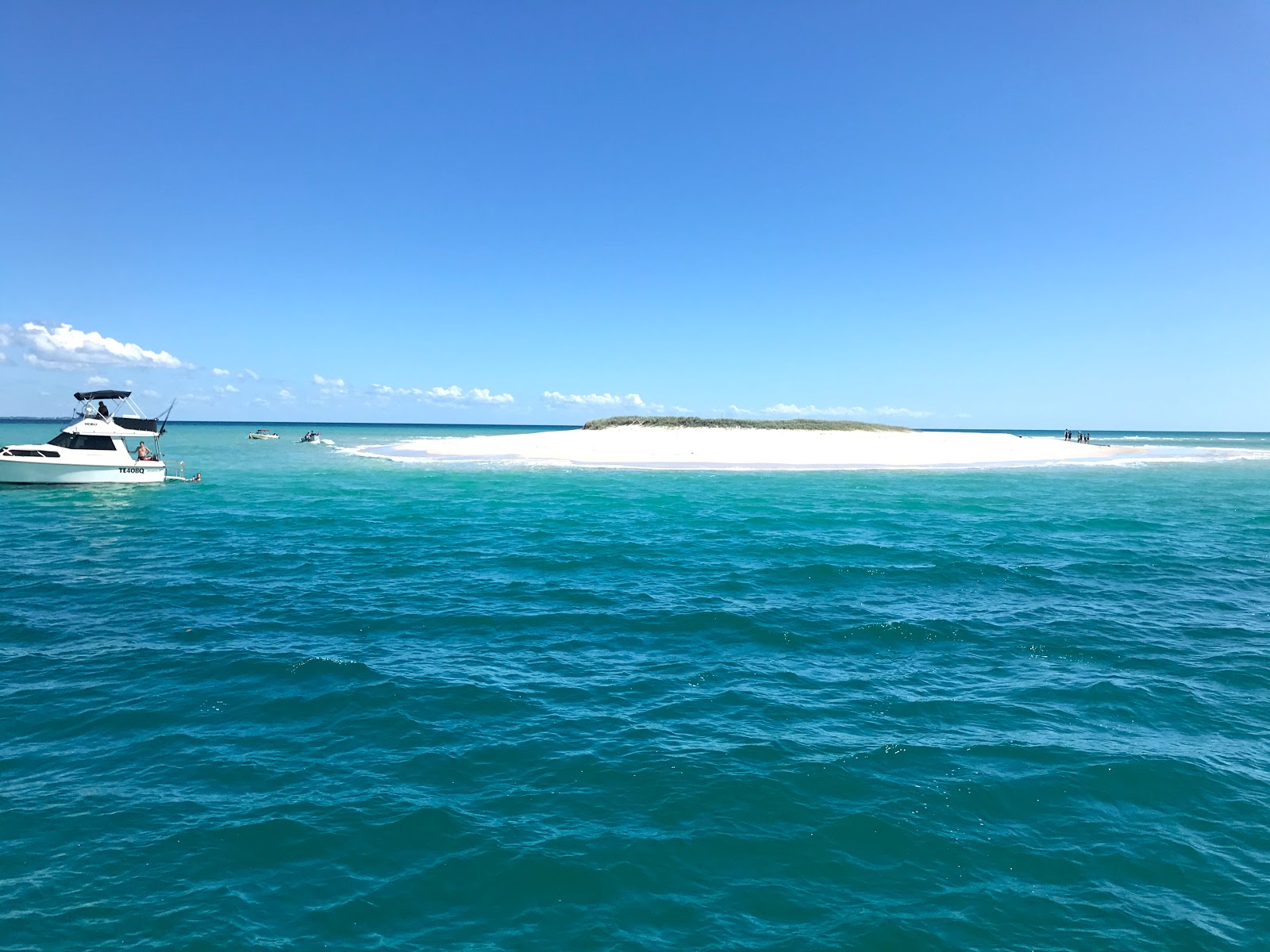
When the wind returned to the South East and dropped to a very light breeze, we ventured towards the northern side of Fraser Island and Platypus Bay. Along here, we had been told, any wind from the west was trouble! As we rounded Moon Point on a calm morning, we noticed a lovely sand cay and island, where a couple of boats were moored, then further along another sand cay with a narrow channel between it and Hawk Nest Beach (on Fraser Island). It was perfect for anchoring and as the tide dropped and the sand cay widened we took the dinghy ashore for a swim and a walk. This was too nice a place to leave! That night we could hear the dingoes howling – a reminder of how close we are to Fraser Island. Next morning we continued north-east, dropping anchor again near the Triangle Cliffs. The water is so clear you can see exactly where the anchor is and the beach is a long ribbon of white sand. This is the nursery for many humpback whales who migrate here to calve each spring. We are too early for them but there is plenty of other sea life to keep us entertained, from dolphins to turtles to stingrays and even the odd Banjo Shark (which looks like a ray but has fins!!). Later on, we took the dinghy further north, venturing into Lagoon Anchorage, the entrance to Wathumba Creek. A small trimaran was anchored here and we waved to the lone sailor before returning to our boat. Here, the captain tried his hand at fishing and landed several whiting in quick succession!

Walking along the atoll - low tide

Triangle Cliffs was a perfect anchorage and we stayed there for three nights - making the most of the benign weather conditions with a small breeze from the southeast. Even the insects seemed benign, although we continued with our repellant routine! After three nights we started heading west again, dropping anchor under Arch Cliffs, further along Fraser Island. The beach, with its long ribbon of white sand, looked very inviting, however we watched as several hapless boaties, anchoring much closer to the beach than us, went ashore and appeared to be setting up camp before two 4WDs of Rangers appeared! We couldn't tell what transpired, however after some lengthy discussion the rangers stood on the shore and watched as the boaties returned to their craft and cruised away. Our appetite for a walk on the sand immediately disappeared.

Sunset birthday drinks
Our own little island
Next day was the first mate's birthday! We cruised west, closer to phone and internet reception, dropping anchor at the island we had spotted several days earlier. Many daytrippers, prevented from visiting Fraser Island, appear to have decided this would be a reasonable alternative. With a grassy knoll and sand surrounding it, the island, at Moon Bank, also attracted a range of birdlife, from tiny sandpipers to pelicans. All flew off with noisy shrieks as we approached! As the sun set, the day trippers disappeared and we were left with our own private tropical island for sunset birthday drinks.

We will continue to explore Platypus Bay and the northern shore off Fraser Island while the weather remains benign and the wind stays from the south-east. We are well stocked with fuel, food, water - and alcohol! So we have no reason to head to port for now and will make the most of our "luck".

Sunday, 12 April 2020

Self sufficiency and social distancing

We are spending our time exploring the Great Sandy Straits, enjoying different anchorages depending on tides, wind and comfort! There are so many places to explore in this vicinity I think it will take us a while to get sick of it, and there is certainly a lot to see and do.

The atoll appears
South White Cliffs is about 3/4 down the west side of Fraser Island. There is a small sand atoll that appears at low tide, and it is about 2km to walk around; up and down the dunes through soft and often wet sand it is quite a challenge and good for the legs! A swim afterwards in the balmy water is always welcome. In the past week we have stayed here twice, both times for two nights, lazing around while the tide is high and the wind is light. Other boaties are also taking advantage of this peaceful location, fishing, walking or just lazing around. It is particularly good when the wind is from the east or south, as Fraser Island protects us from lumpy seas. Smaller, shallower boats can venture further in past the shallow water and get more protection, but I wonder whether the midgies might be fiercer at low tide.

Kingfisher Bay
North White Cliffs, just past Kingfisher Bay resort, is also lovely but only when the wind is from the south or east - otherwise, waves push across the bay and it is quite uncomfortable! As the only land nearby is on Fraser Island (closed during the current situation), it is a good place for relaxing maybe with a fishing rod or a book. The resort nearby is closed but we have seen the barge come across a couple of times.

Hervey Bay wharf
Marina, Hervey Bay
Hervey Bay is a lovely town, with terrific coastal walks and bike paths and a long wharf to walk along, watching the fishermen try their luck along the 1.2km length. We spent two nights at the Great Sandy Straits marina while we restocked with food, water, grog and hardware to keep us busy and well-fed. We got out our bikes and rode along the waterfront up to the shopping centre (and Bunnings and Dan Murphy's), then back along the old railway track which led to the wharf - it was quite a while since either of us had ridden so far and our legs certainly felt it!

Olive focaccia
Hot cross buns - yum!
Social isolation is also a time to try new things or hone old skills. We enjoy cooking new foods on the boat, and making marinades and sauces out of what we have on hand. We have mastered making yoghurt out of powdered milk and we regularly cook bread or foccacia. This easter, hot cross buns were on the menu, and spending time in Hervey Bay encouraged us to visit the local fishmongers, enjoying scallops, prawns, coral trout and red emperor. A home made seafood sauce or marinade complements our cooking.

Crafts and small renovations or improvements have also been undertaken; the captain has replaced all the flyscreens on the windows and we have installed new magnetic screens on each door, while the first mate has been turning her hand to knitting, with towel toppers the first project attempted. We are well set up with plenty to do as we had always known we would be spending a lot of time on our own - with plenty of books, puzzles and other projects, plus opportunities for phone and video calls to friends and family, we never feel bored or too lonely.
Soldier crabs scurrying
Butterflies fluttering

There is also plenty of wildlife around - dingoes on the foreshore, turtles in the water, butterflies flying by in their hundreds, soldier crabs scurrying across the sand. The birds on the island wake us each morning and we see fish jumping out of the water (but not onto our hooks!). Life is peaceful and serene and we consider ourselves very lucky to be here.
CAPTAIN'S LOG:
Distance travelled - 70.8 NM
Travelling time - 11 hours, 35 minutes
Fuel consumption - 58.4 L


Monday, 6 April 2020

On the water again!

Farewell Bayview!
The year so far has been spent preparing Manookatoo and ourselves for resuming the cruising life. Many minor repairs have been undertaken, as well as an engine service, bottom clean and full exterior cut and polish; food, fuel and water has been replenished; most friends and families have been visited and farewelled. As Covid-19 began to impact on close contact and travel opportunities, we did a lot of soul-searching and made the decision to continue with our plans as best we could while sticking closely to any (frequently changing) regulations. So on Sunday we untied our lines for the last time at Bayview Marina and started heading north.

Social distancing
Ray and the Captain
Our first cruise was a short one, as far as Tipplers, on South Stradbroke Island. We had been here only the week before, walking across to the ocean and laughing at the wallaby lined up at the cafe, looking like he was following "social distancing" rules. But now, even here, things had changed: the campground and cafe were closed. Many other boats were here, keeping their distance from each other but enjoying the balmy conditions. We caught up with our friends, Ray and Trish, enjoying a final farewell drink as the sun set. We enjoyed a peaceful night on the water with just the birds to keep us company.

Drinks with Jenny and Simon
Next morning, after exercises and breakfast, we lifted the anchor and, with a final wave to Ray and Trish, we headed north, past Jumpinpin bar and into the Canaipa Channel, which runs along between North Stradbroke and Russell Islands. A few hours later we pulled up at Canaipa Point, just before Moreton Bay, where Jenny and Simon were anchored in their boat, Moor Good Times. We waved at each other from across the water before lunch and a relaxing afternoon. Just before sunset we took our dinghy across for sunset drinks, us on the dinghy and them on their boat, as the rules had tightened further and visiting others was a no-no! We returned to Manookatoo for an early dinner as we had a longer cruise planned for the next day.

Empty resort
Tangalooma wrecks
On Tuesday morning we raised the anchor just before 6am and, with a final wave to Simon and Jenny, we headed into Moreton Bay, passing Peel Island and heading towards the main channel before turning to the west towards Moreton Island. The resort at Tangalooma is eerily quiet with no tourists and very few locals on the island at the moment. We anchored just near the Tangalooma Wrecks, amongst many other boats, enjoying a swim at the beach and a lazy afternoon, fixing flyscreens to our doors to increase protection against bugs as we head north. There is a regular swell across the bay from the mainland, which reminds us we are on the sea!

Follow that trawler!
Overnight the swell increased marginally, not enough to worry us but enough that we knew about it! The Captain was up just on first light, and we were underway just after 5:30am, heading back into the main shipping channel and north out of Moreton Bay. Wave conditions were reasonable, but more than we had experienced in quite a while and they took some getting used to, particularly for the First Mate who had not had any time in the ocean since 2017! As we cruised along we spotted a few cruise ships anchored offshore, we don't think there are any passengers left on them and imagine they are "parked" there with a skeleton crew until Covid-19 conditions improve. Just after 11:30 we rounded the headland and followed a fishing trawler into the Mooloolah river, tying up at the Mooloolaba marina just on noon. We walked into town for some supplies, noting how many shops were closed and how many restaurants were trying to keep going by offering takeaway meals. We walked back to the seafood supplier and bought local prawns for lunch and a seafood mix for marinara that night. It all looked delicious! Another walk and a swim in the afternoon reminded us of just how beautiful Mooloolaba is.

Great Sandy Straits sunset 1
Great Sandy Straits sunset 2
Thursday morning was a particularly early start, with a long day of cruising and the Wide Bay Bar to reach and negotiate before the tide turned. There was a swell but it didn't seem as bad, and the wave conditions settled down nicely before we reached the bar. The coordinates provided to us by the Coastguard at Tin Can Bay made our entry very easy, and we travelled along the Great Sandy Straits while we enjoyed our lunch, dropping anchor near Garry's Anchorage just after 3:30pm. We made sure we were more than 100m offshore from Fraser Island, as per the latest Notice to Mariners! We had a restful afternoon and enjoyed sunset drinks upstairs before the mosquitoes drove us inside for the night - they were very vicious and not even a good dose of Aeroguard deterred them! Thank goodness for our new door screens. After such an early start we were early to bed - and enjoyed a very quiet, still night.

Ceratodus wreck
Home-made bread - yum!!
Friday was exercise day but with many mozzies still hanging around, we decided to cruise further upstream before we started. We enjoyed a swim after our workout, before having breakfast and moving on while the tide was still high so that we could negotiate the shallow parts of the channel with no issues. We dropped anchor again mid morning, near the wreck of the Ceratodus at Ungowan, to prepare some bread for our dinner. We love trying more self-sufficiency while on the boat, making bread and yoghurt, marinating vegetables and cheese for antipasti lunches, or mixing up our own marinades and sauces. Once our dough was prepared, we raised the anchor again, cruising to Kingfisher Bay, where our friends Andrew and Yvonne were staying. They too are living aboard their boat, having left the Gippsland Lakes mid last year. We enjoyed a "social distancing" catch up where we discussed our plans and options for the near future. Later, the two of us enjoyed drinks upstairs "mosquito free" and a delicious pasta dinner - with home-made bread, of course!

The Mary River is long and meandering
Mary Poppins in Maryborough!
With wind and waves forecast to build over the day on Saturday, we headed west, into the mouth of the Mary River. We cruised upstream for almost an hour (against the tide), dropping anchor at "Beaver Rock", a small community on the southern side of the river. After lunch, we took the dinghy and headed upstream to Maryborough. It was a lot further than we expected, but the journey was quite picturesque. Maryborough is a lovely, historic town, with many old buildings gathered around the waterfront. It is also a town prone to flooding, as indicated by the height of the poles on the wharf! We tied up and headed into town, past the old bank building where PL Travers, writer of Mary Poppins, was born. Unfortunately, due to Covid-19, everything is closed, but we resolved to visit again once the crisis is over. We continued on to buy our supplies in Bunnings and Coles, but we didn't linger, conscious of the lengthy trip home in the late afternoon. Returning to Manookatoo, we relaxed with drinks upstairs before a delicious three-course dinner. We reflected on how lucky we are to be in such a beautiful part of Australia during what is a very anxious and confusing time.
Mary River
Maryborough Marina
CAPTAIN'S LOG:
Distance travelled - 205.4 NM
Travelling time - 32 hours, 35 minutes
Fuel consumption - 203.1 L