|
| Beautiful Great Keppel Island |
We have now heard, from several sources, that May is the windiest month in these parts, and we are inclined to believe it! We enjoyed two days at Great Keppel Island, walking along Svendsens and Monkey beaches, climbing one of the many hills across to Long Beach, lazing on the boat and enjoying the clear waters. Many smaller boats came over from the mainland too, enjoying the lifting of level one restrictions allowing entrance to National Parks. The nights were not so enjoyable; rolling waves at Svendsens Bay and unexpected winds at Fisherman’s Bay kept us from having the peaceful sleeps we usually enjoy! By Monday, first light, knowing the weather was deteriorating as the day progressed, we were ready to head east to the mainland. The trip across was quite “lumpy” and it was a relief to reach the calm waters of Rosslyn Bay and tie up at the Marina. We booked in for two nights, but we stayed for ten as the wind continued unabated!
 |
| Drinks with friends Yvonne and Andrew |
 |
| Climbing the Bluff |
 |
| Singing Ship, Emu Park |
We made the most of our time ashore to complete a few odd jobs, utilising the regular local bus service to visit Yeppoon and Emu Park, and hiring a car for a day to take us to Rockhampton for a big restocking shop. We also rode our bikes along the foreshore, climbed the local hill and generally enjoyed ourselves. We caught up with friends and enjoyed dinners on each other’s boats, and had coffee and a couple of lunches in local cafes as dining restrictions eased. Finally, on Thursday of the following week, the winds eased and we headed out again, back to Great Keppel Island.
 |
| Leekes Beach |
 |
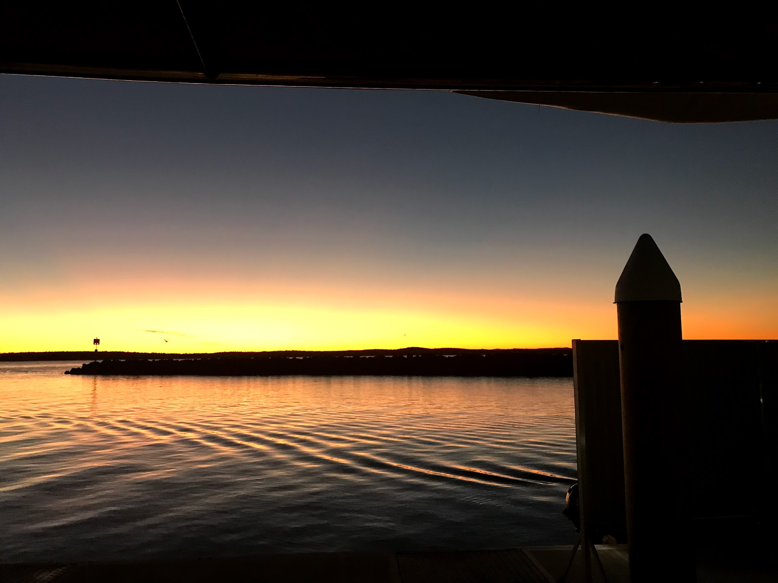
| Keppel sunset |
We dropped anchor mid morning near Svendsens Beach. There were far fewer boats here this time, a consequence of the windy conditions of the past ten days. As the morning went on we watched others raise their anchors and move - doing “The Keppel shuffle” - as the wind was expected to turn south westerly. We followed suit, cruising less than one nautical mile to Leekes Beach, which offered more protection from the west. Nonetheless it was a rolly afternoon as the swell came in from the northeast and wrapped its way around the headland. We enjoyed sundowners with our neighbours on Toucan 2, returning to our own boat as darkness fell.
 |
| Playing "tourist" |
By Friday morning the swell had softened and we went ashore in the small inflatable (more suited to pulling up the beach in tidal areas), walking along the shore and across the island to the normally bustling tourist hub. The ferry recommenced operations today but nothing is open; staff were busy setting up at Hideaway Resort for resumed "socially distant" day trading tomorrow. We returned via the lookout, enjoying views across Svendsens and Leekes beach and beyond. Saturday was a wet and miserable day so we hunkered down on Manookatoo, only venturing out in a break between showers for coffee with our friends on Tranquility Base.
 As a "record breaking" cold snap has hit Queensland, we started dreaming of warmer conditions in the north. On Sunday morning, with light winds forecast for the next few days, we took the opportunity to weigh anchor, cruising away from Leekes Beach and past North Kepppel Island as the sun rose. There was some rolly swell for the first couple of hours, but westerly breezes were taking the top off the waves and making
 the sea conditions more reasonable. Last time we cruised this way we took it slowly, stopping a night each at Corio Bay, Port Clinton and Island Head Creek, but this time, with the cold, we are more impatient! We dropped anchor in Pearl Bay just after 1:30pm, enjoying a late lunch before lowering the dingy and heading to shore. Alan Lucas calls this “a pretty anchorage” and he’s right; with a long stretch of sandy beach, rocky outcrops, islands and mountain ranges it is a lovely place. Reception is nonexistent though, so checking weather and other communications is impossible, encouraging us to keep moving!
 Longer cruising days demand early starts, but the upside is in the lovely sunrises. We raised the anchor just after 6am, cruising out past the rocky islands around Cape Townshend and continuing north. We managed to contact the coastguard and confirm that the seas remain calm, but all other communication eluded us. This area is part of the Shoalhaven military zone, a very isolated stretch of coast often closed during defence exercises, so I guess they’re happy to keep us all silent! Favourable currents had us cruising along at over 8 knots, a fine speed for Manookatoo, and we approached the Duke Islands, rounding Marble Island and dropping anchor near Hunter Island just after noon. After lunch we ventured ashore. These islands were once cattle runs, evidenced by ruins and an old yard, now the domain of mountain goats. We followed the goats’ example and scrambled up the rocky, grass covered hills to gaze at the magnificent view of neighbouring islands and azure seas, thankful to return to shore without a tumble!
 |
| Duke Island hill!! |
 |
| Hunter Island hut |
Rolly seas brought wave slap and excessive rocking in our bed, not ideal sleeping conditions but just part of the experience of life on a boat. We were up and off a little later the next morning as we had not as far to travel. Communication remains spasmodic in these parts but we managed to hear the coast guard’s weather report and were pleased to hear that conditions were improving, with the wind and waves dropping over the day. By lunchtime we were rounding Digby Island and dropping anchor in calm and clear waters. After lunch the Captain rowed us ashore, where flotsam and jetsam from at least one boating disaster was strewn along the beach. We looked for a way up the hill to check out the view, but the scrub was thick and impenetrable so we returned to Manookatoo for a relaxing afternoon. That night we enjoyed much milder conditions and look forward to that continuing in the coming days.

 The Coral Sea is dotted with groups of fabulous islands; not all as well known as the Whitsundays but equally as beautiful, with dramatic rocky faces and lush green vegetation surrounded by clear, aquamarine water. Boaties like us appreciate these safe anchorages and realise how privileged we are to experience this wonderful landscape. After a lovely, relaxing sleep we raised the anchor again at first light and continued north, listening closely to the coastguard’s 6:45 weather report to ensure that nothing unexpected was happening, relieved to hear that light winds and calm seas are continuing for the next couple of days. A couple of hours into our cruise, however, the wind swung around and the seas got a bit “lumpy”, which made eating breakfast interesting! Nevertheless it was a pleasant morning for cruising, and we rounded Scawfell Island and picked up a mooring just before 1pm. There is a National Park campground ashore here, but the heavily treed hills looked too challenging for us today, so we stayed on the boat for a relaxing afternoon.
The winds died down overnight and we were awoken just after 5am by our mooring “knocking” on the bow! At 6:00, the captain threw off the rope and we continued northwest, cruising past many small islands and rocky outliers as we went. We have seen a few fishermen in runabouts and smaller offshore craft, plus a couple of yachts at overnight anchorages, but water traffic has been particularly light - not surprising, considering the Covid 19 travel restrictions. Today we reached Shaw Island, part of the Lindeman group in the southern Whitsundays, where we intend spending some time soaking up the warmth and enjoying the many islands and inlets the area is famous for.
 |
| Beautiful Shaw Island, southern Whitsundays |
Captain's log
Distance travelled: 223.1 nautical miles
Travel time: 30 hours 45 minutes
Fuel consumption: 219.4 litres